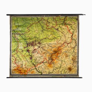
Charts of Physical Maps from North Rhine Westphalia NRW
Price:
A$2,681
Regular Price:
A$3,803
Sale
You are now following Charts. You can manage alerts in your account settings.
You have unfollowed Charts.
Charts of Physical Maps from North Rhine Westphalia NRW
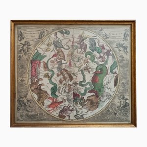
Celestial Chart, 1702
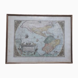
Antique Watercolor Print Map or the Americas, 1890s
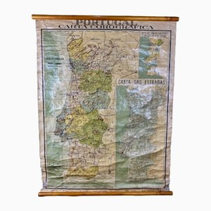
Chorographic Map of Portugal, 1942
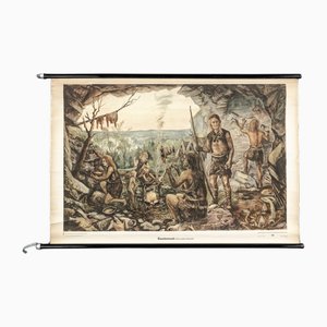
Charts of Maps from Ice Age Man
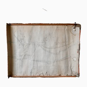
French N°2 Cadastral Plan, 1933
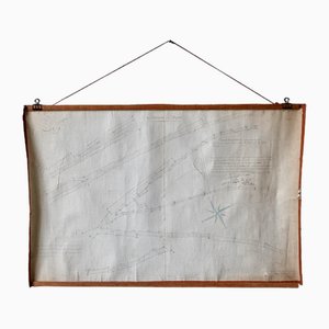
Plan d'Etupes N°3 Chart, 1833
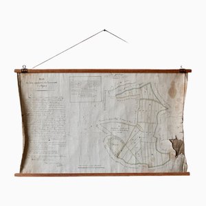
French Plan of 1788, 1825
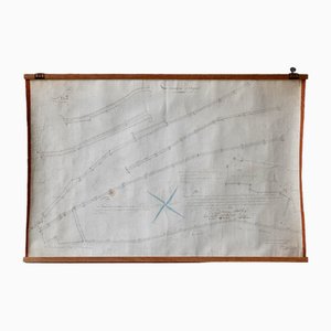
Old Map of Etupes, 1833
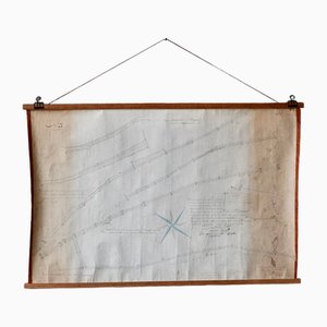
Wall Decoration Map, 1833
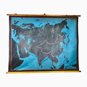
Beech Asia Map, 1940s
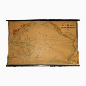
Large Wall Map by Heinrich Kiepert for Lithographische Anstalt Leopold Kraatz, 1886
Trending