Antique English Lithography Map of Cambridgeshire

You are now following Charts. You can manage alerts in your account settings.
You have unfollowed Charts.
Antique English Lithography Map of Cambridgeshire

English Environs of Bath & Bristol Map

Antique Lithography Map

Victorian English Lithographic Map of Cumberland
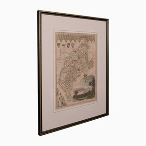
Antique English Isle of Thanet Lithography Map
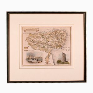
English Collegiate Map, Cambridge, 1838

English County Map Staffordshire
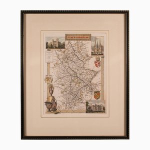
Antique English Berkshire Map

Small English Country Map, Northamptonshire, 1850s

Antique Framed Lithographic Map of Northamptonshire, England, 1860
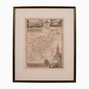
Antique English Lithography Map of Black Sea
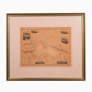
Antique English Lithography Map of South America

Lithography Map Monmouthshire Welsh Cartography

English Lithography Map Derbyshire

English Lithography Map Huntingdonshire
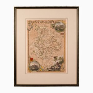
Antique English Country Map

Antique English Framed Lithography County Map, 1860s

Antique English County Map Lithography

Large English Wimbledon Map SW London

Antique Lithographic Map of Warwickshire

Victorian Lithographic Map with Environs of Southampton, England

Victorian English Lithographic Map of Westmoreland
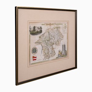
Antique Lithography Map, Shropshire, English, Framed, Cartography, Victorian
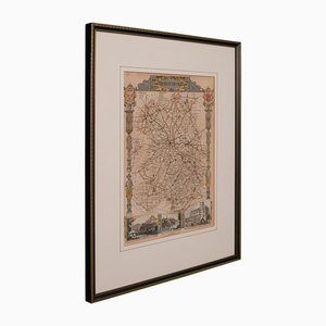
Antique English Framed Nottinghamshire Map
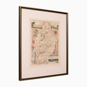
Antique English Victorian County Map
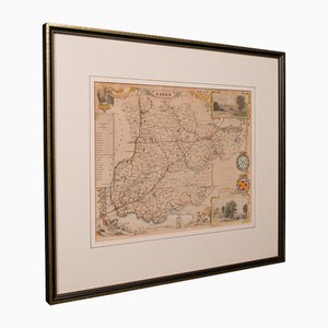
Antique English Framed Leicestershire Map
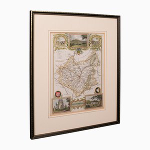
Antique English Rutlandshire County Map, 1860s
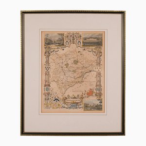
Antique English Framed County Map
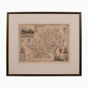
Antique Framed Lithographic Map of Hertfordshire, England
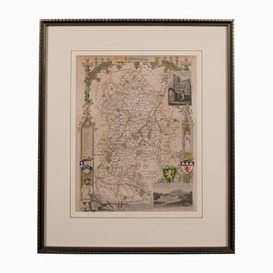
Antique Framed Lithographic Map of Bedfordshire, England
Trending