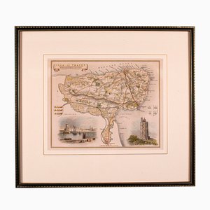
Antique English Isle of Thanet Lithography Map
You are now following Charts. You can manage alerts in your account settings.
You have unfollowed Charts.
Antique English Isle of Thanet Lithography Map

English Road Map Bristol to Weymouth

Antique English County Map by Richard Blome, 1673

Large Antique Lithography Map of Northamptonshire by John Speed

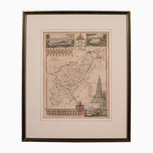
Antique Framed Lithographic Map of Northamptonshire, England, 1860
Dutch County Map Buckinghamshire - Bedfordshire by Janssonius

Antique English Georgian Framed Town Plan Map, 1780

Coaching Road Map Cranborne to Dorchester

Antique English Framed Cambridgeshire County Map by Robert Morden, Late 17th Century

Antique County Map by Robert Morden, 1700
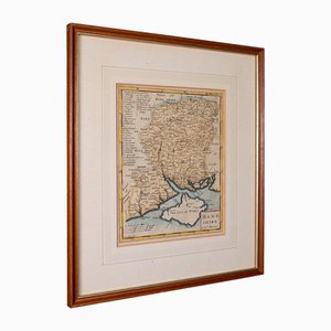
Antique County Map, Northamptonshire, English, Framed Cartography, Richard Blome

Antique English Framed Nottinghamshire Map
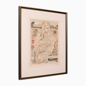
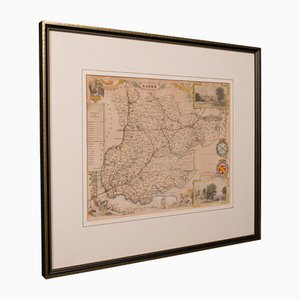
Antique English Victorian County Map
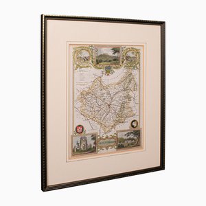
Antique English Framed Leicestershire Map
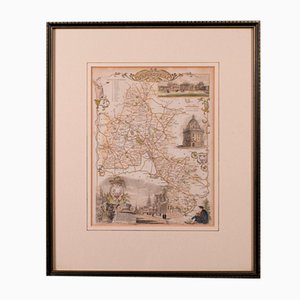
19th Century English Oxfordshire Country Map
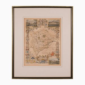
Antique English Rutlandshire County Map, 1860s
Trending